The mental map
Budapest districts explained
Budapest is divided into 23 numbered districts, and locals navigate entirely by them — the number is part of every address and every conversation about where something is. These are the twelve a visitor actually spends time in.
Pest — the flat east bank
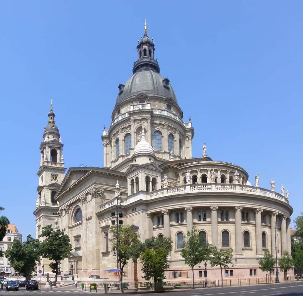 VBelváros & LipótvárosDowntown Pest and the government quarter: the Parliament, St. Stephen's Basilica, the Danube promenade and Váci utca. Where most first visits begin.205 places
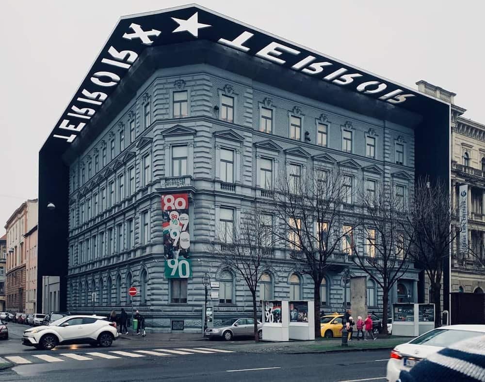 VITerézváros & Andrássy AvenueThe grand boulevard quarter: the Opera House, Liszt Ferenc tér's terraces, the House of Terror and a UNESCO-listed avenue that runs from downtown to Heroes' Square.112 places
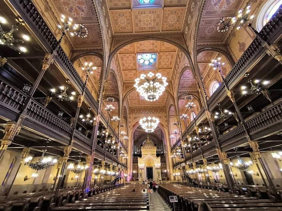 VIIJewish Quarter & ruin barsDistrict VII: the Great Synagogue, a dense grid of courtyards, and the ruin bars that turned derelict tenement blocks into the city's nightlife engine.149 places
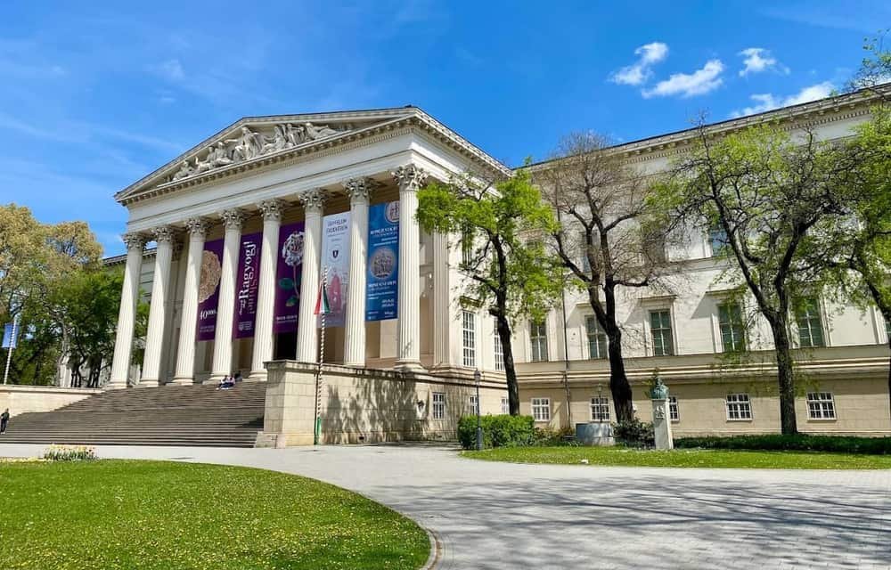 VIIIPalace Quarter & JózsefvárosDistrict VIII's inner half: nineteenth-century aristocratic palaces, the Hungarian National Museum, university faculties and a café scene without the downtown mark-up.45 places
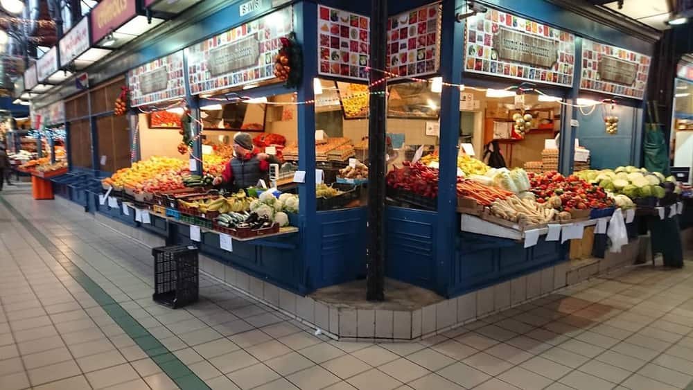 IXFerencváros & the Great Market HallDistrict IX along the river: the Great Market Hall, Ráday utca, the National Theatre and the Müpa concert complex on the redeveloped Danube bank.57 places
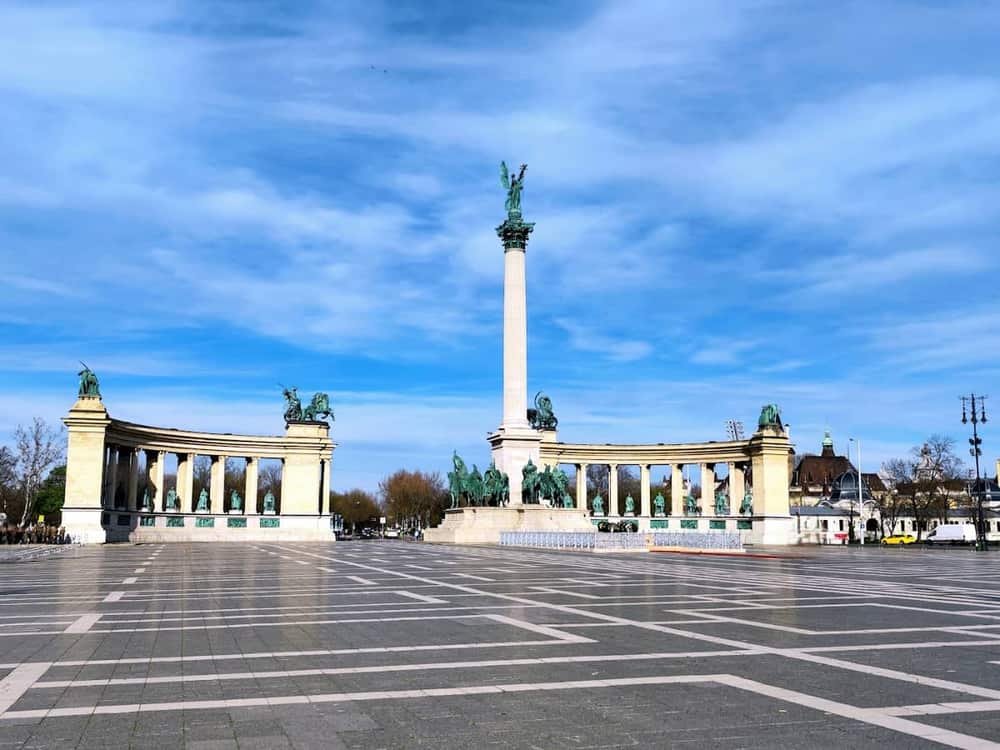 XIVCity Park & Heroes' SquareThe green end of Andrássy Avenue: Heroes' Square, Vajdahunyad Castle, the zoo, the new museum quarter — and Széchenyi, the largest thermal bath in Europe.34 places
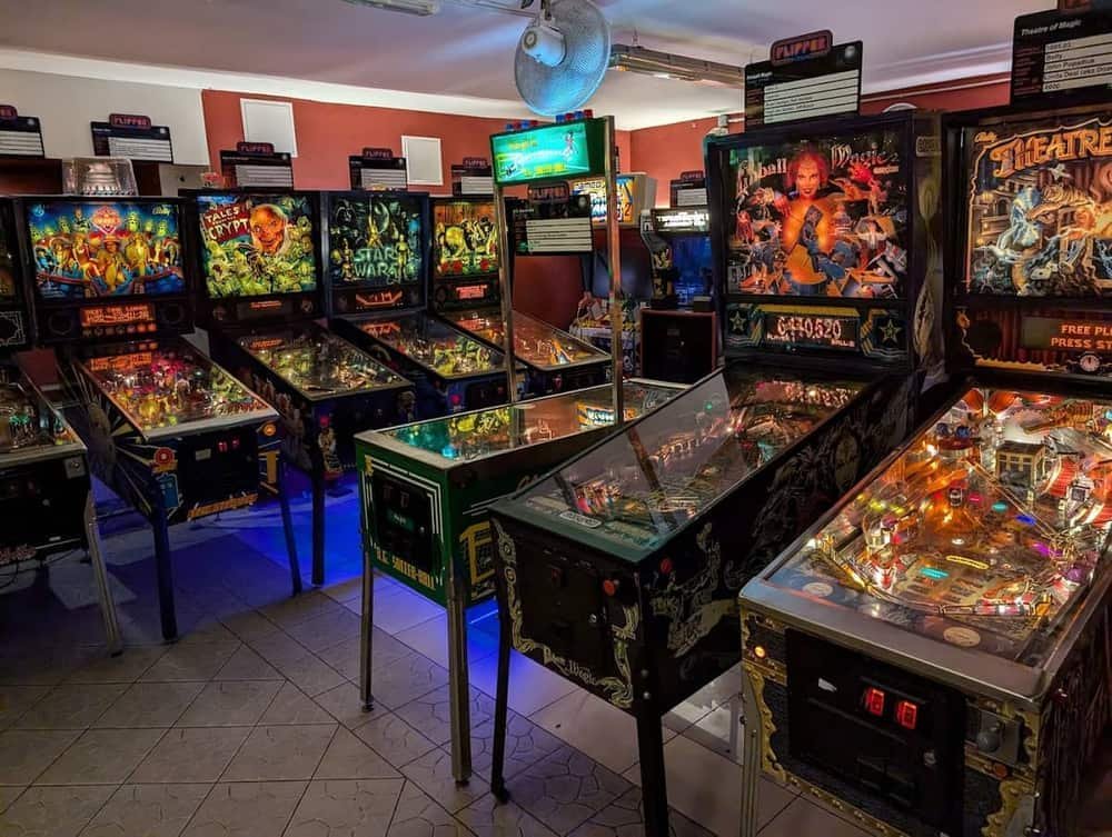 XIIIÚjlipótvárosBauhaus apartment blocks north of the Parliament, a quiet riverside park and the neighbourhood bistros locals use when they want to avoid District V prices.42 places
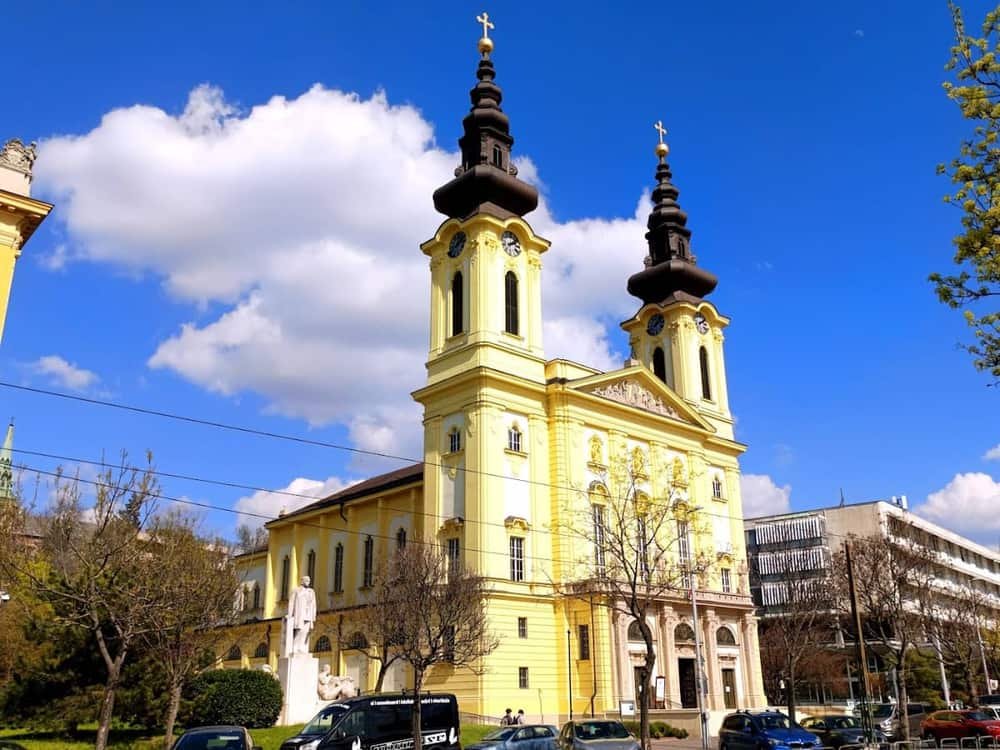
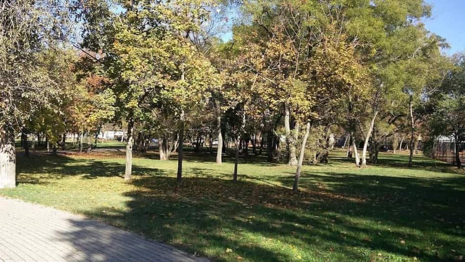 XKőbányaThe quarry district: brewing cellars under the streets, one of Ödön Lechner's finest churches, and the plot where 1956 was buried face-down.44 places
 XIXKispest & the Wekerle EstateOne of Europe's most complete garden cities, built for workers from 1908, with a Transylvanian-timbered square at its centre.35 places
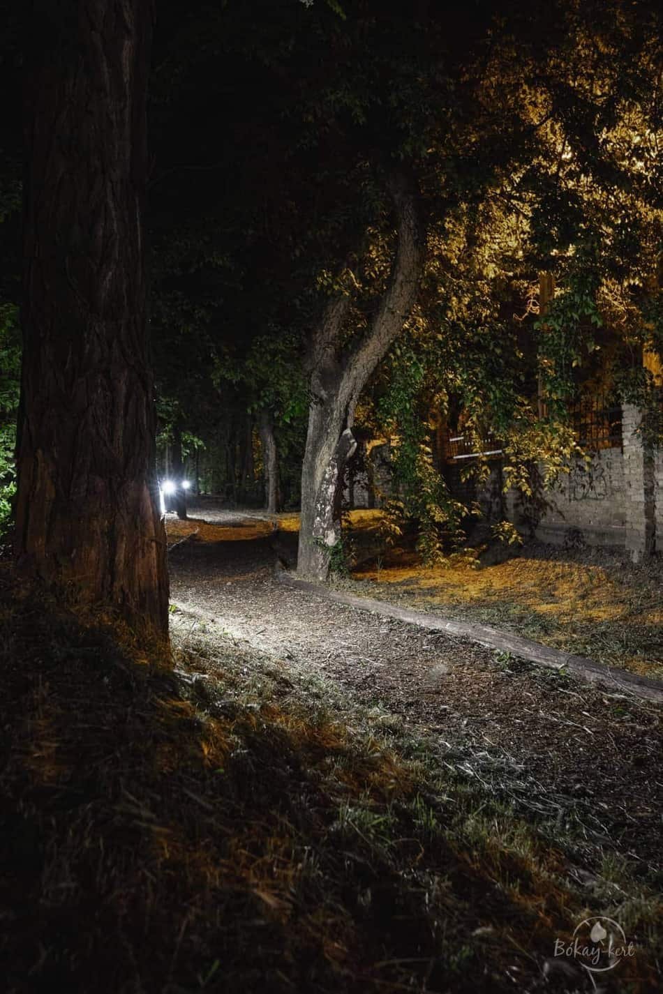 XVIIIPestszentlőrinc & PestszentimreThe district almost every visitor passes through and none of them notice: Budapest Airport is here.24 places
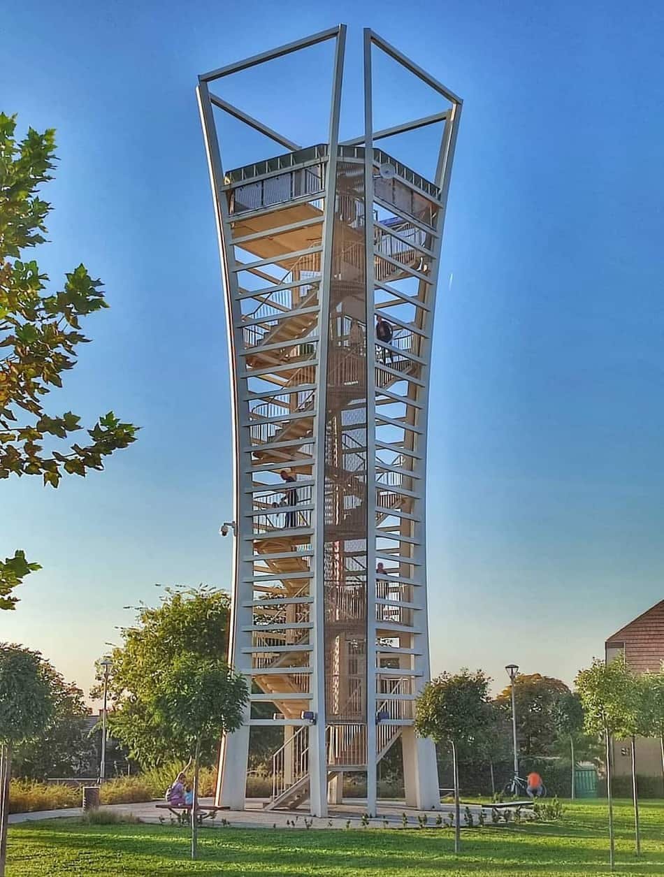 XVIMátyásföld & CinkotaA turn-of-the-century villa suburb with an aviation past, absorbed into the city in 1950 and still looking like a separate town.31 places
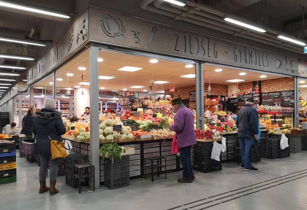 IVÚjpestA town founded in the 1840s because Pest's guilds would not admit Jewish craftsmen — so a count sold them land to build their own.41 places
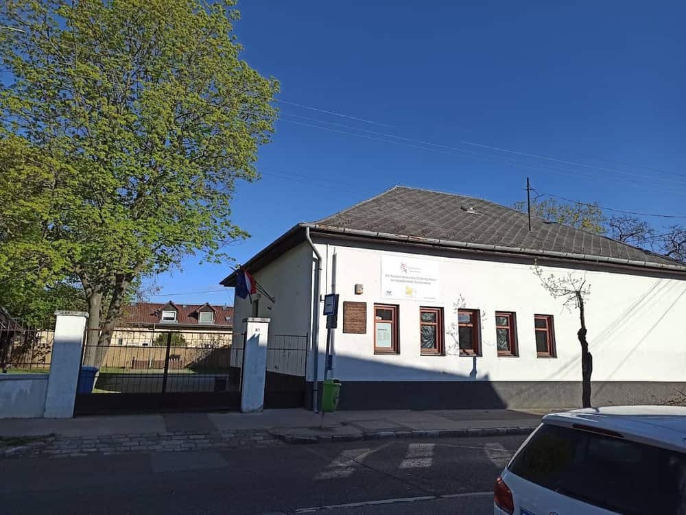 XVRákospalota & PestújhelyThree merged settlements in northern Pest — an old village core, an interwar suburb and a 1970s housing estate, side by side.27 places
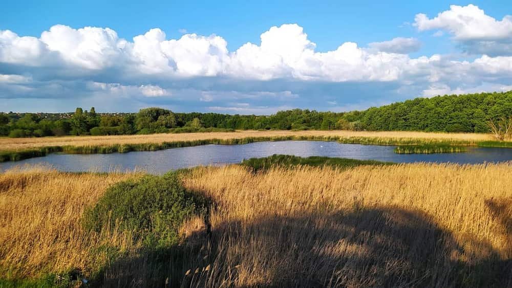 XVIIRákosmenteBudapest's largest district by area and one of its emptiest — village centres, allotments and fields at the eastern edge of the city.24 places
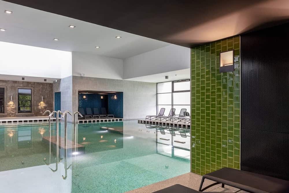 XXPesterzsébetA dense working district on the southern Pest bank, named after Empress Elisabeth and shaped entirely by industry.20 places
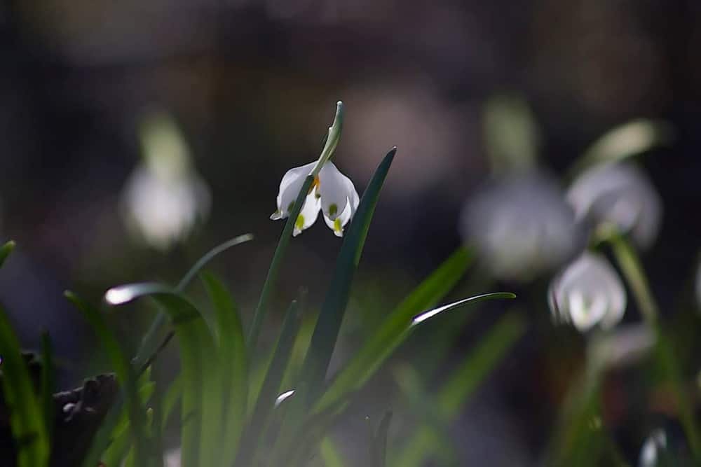 XXIIISoroksárThe city's southern end: a former Swabian farming village, a botanical garden, and the quiet Danube arm that draws everyone here in summer.14 places
Buda — the hilly west bank
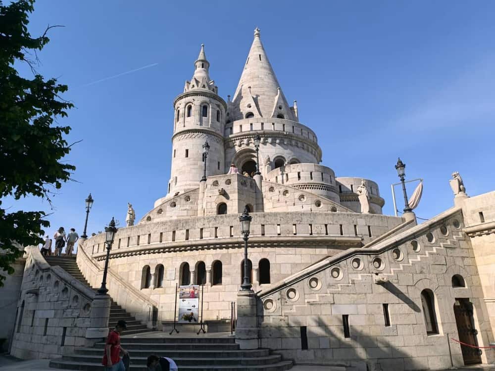 ICastle DistrictThe cobbled plateau above the Danube: Buda Castle, Matthias Church and the Fisherman's Bastion terraces. A UNESCO-listed hilltop with the city's best panorama of Pest.76 places
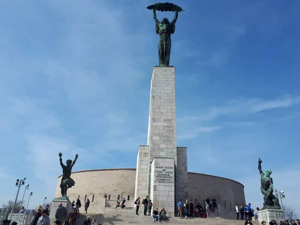 XIGellért Hill & TabánThe Buda cliff over the river: the Citadella lookout, the Cave Church, and the Art Nouveau Gellért Baths at its foot.39 places
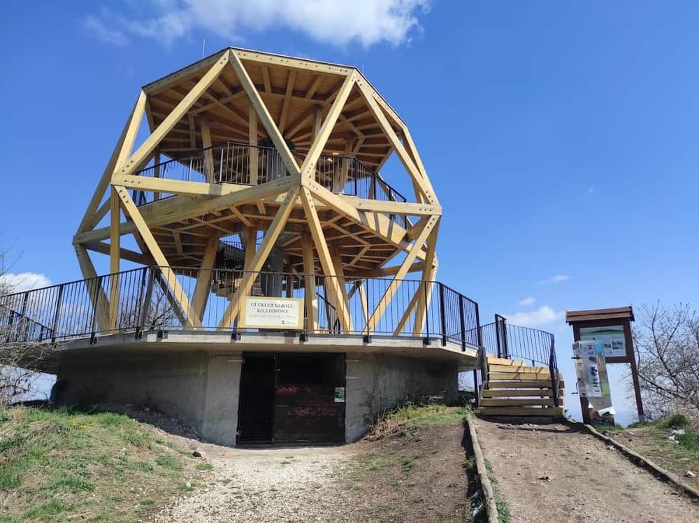 IIIÓbuda & AquincumThe oldest of the three towns that became Budapest: a Baroque main square, Roman Aquincum's ruins and amphitheatre, and riverside beaches on Római part.32 places
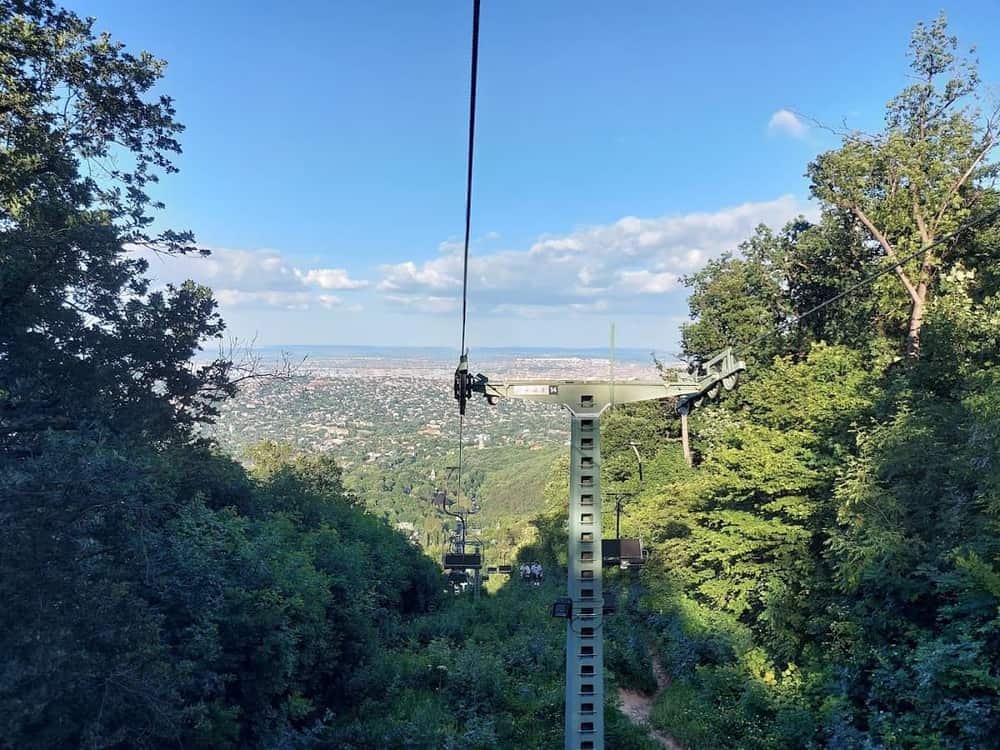 IIBuda Hills & RózsadombForested hills inside the city limits, reached by cogwheel railway and chairlift: the Children's Railway, the Elizabeth Lookout and marked walking trails.28 places
 XXIIBudafok — the cellar townA hundred kilometres of wine cellars cut into limestone, a champagne house from 1882, and cave dwellings people lived in until the 1960s.50 places
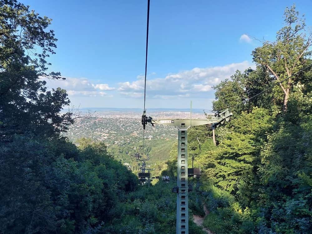 XIIHegyvidék & NormafaBudapest's forested hills: beech woods at Normafa, the highest point in the city, and three separate historic railways to get up there.45 places
On the river
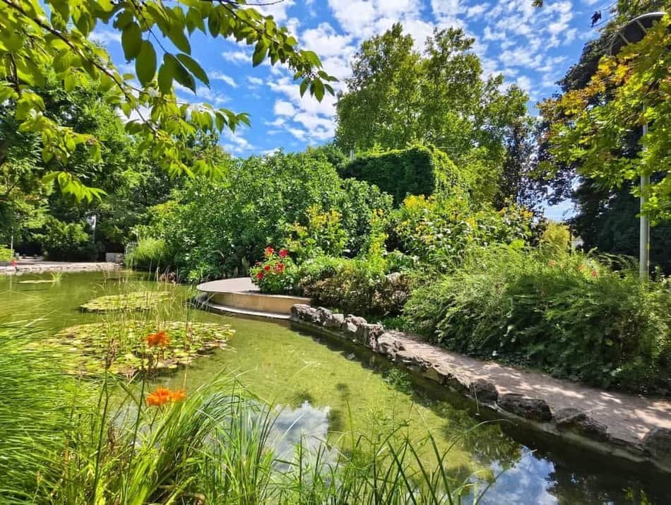 XIIIMargaret IslandA car-free island in the middle of the Danube: a 5.35 km running track, medieval convent ruins, the musical fountain and the Palatinus bathing complex.12 places
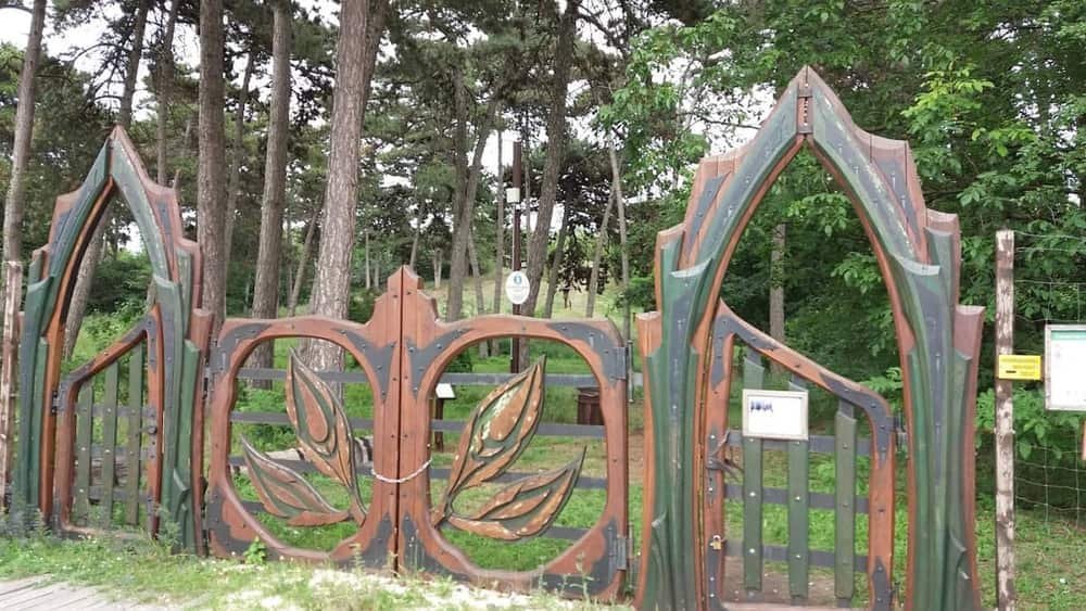 XXICsepelThe northern tip of Csepel Island: Hungary's largest industrial complex, the workers' councils of 1956, and a quiet side-arm of the Danube.28 places
How the numbering works
The districts are written in Roman numerals and were assigned in a rough spiral: I is the Castle Hill, V is downtown Pest, and the numbers climb outwards from there. The system dates from the 1873 unification of Buda, Pest and Óbuda into one city, and it has barely changed since.
A Budapest postcode encodes the district in its middle two digits — 1051 is District V, 1071 is District VII. Once you notice that, addresses stop being opaque.
Buda or Pest?
Buda is the west bank: hills, the castle, quiet residential streets, more green, fewer restaurants, and a steeper walk home.
Pest is the east bank: flat, gridded, nineteenth-century, and where almost all of the nightlife, the restaurants and the shopping are.
Most visitors sleep in Pest and cross to Buda for the day. That is the right way round.
Where to stay, by district
Live prices and availability on a map centred on this exact spot — hotels, apartments and hostels, so you can judge the walk from here rather than guess from an address.
Bookings made through this map earn us a commission. Your price is unaffected.